Practical drone services for agriculture, industry, and media relations.
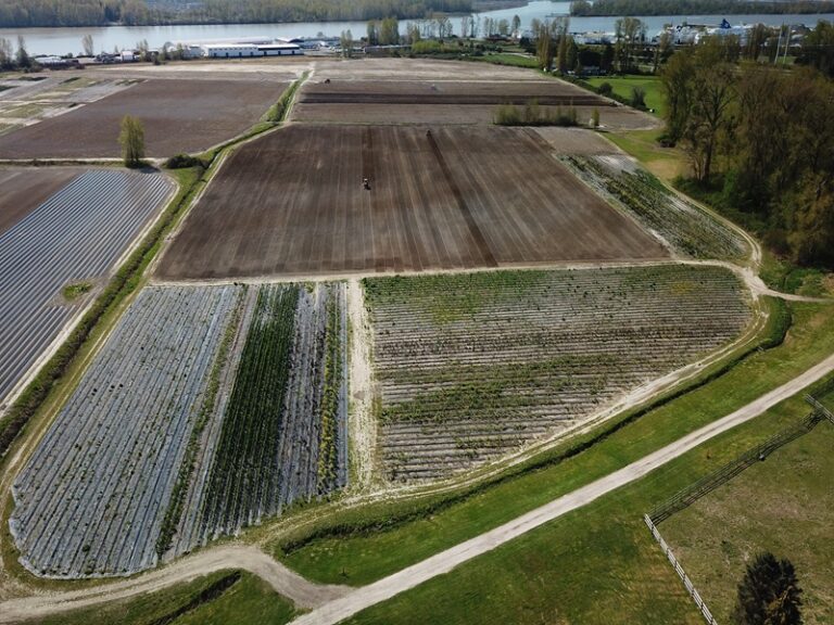
HiPics provides professional drone services which include orthomosaic mapping, aerial imagery, and targeted application services across the Fraser Valley and surrounding regions.
Our goal is simple: help clients see what’s happening across their fields, sites, and assets so that they can make better decisions, reduce wasted inputs, and on the whole improve outcomes.
Why We Started HiPics
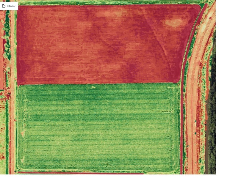
Drone technology has made it possible to see and understand land in ways that were previously difficult or expensive. From agriculture to construction sites, many important decisions are still made using limited ground-level information.
Problems like uneven crop growth, irrigation issues, or site changes often go unnoticed until they become costly.
HiPics was created to provide clear aerial insights that help farmers, land managers, and businesses make better decisions earlier.
What HiPics Does Today
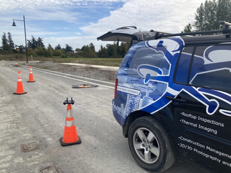
Today, HiPics provides a range of drone services designed to deliver practical insights and real-world value.
Our core services include:
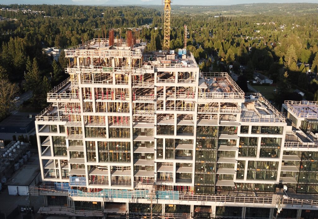
• Agricultural crop health mapping • Variable-rate and straight-rate spray drone application • Construction progress monitoring • Roof and asset inspections • Professional aerial imagery for documentation and marketing
These services allow clients to better understand their operations from above and act with confidence.
Safety and Certification
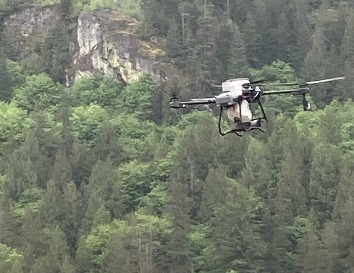
HiPics operates in full compliance with Canadian aviation regulations.
All operations are conducted under Transport Canada drone regulations, and flights are carefully planned to ensure safe and responsible aerial operations.
We are fully insured and committed to maintaining professional standards on every project.
Serving the Fraser Valley and Beyond
HiPics supports agricultural, construction, and inspection projects throughout the Fraser Valley and surrounding areas.
Our drone services are commonly used by farmers, contractors, property managers, and businesses that need reliable aerial insight into their operations.
Transport Canada certified drone operations with full liability insurance.