Contact HiPics
Drone mapping, analysis, and targeted application services for agriculture and industry across the Fraser Valley.
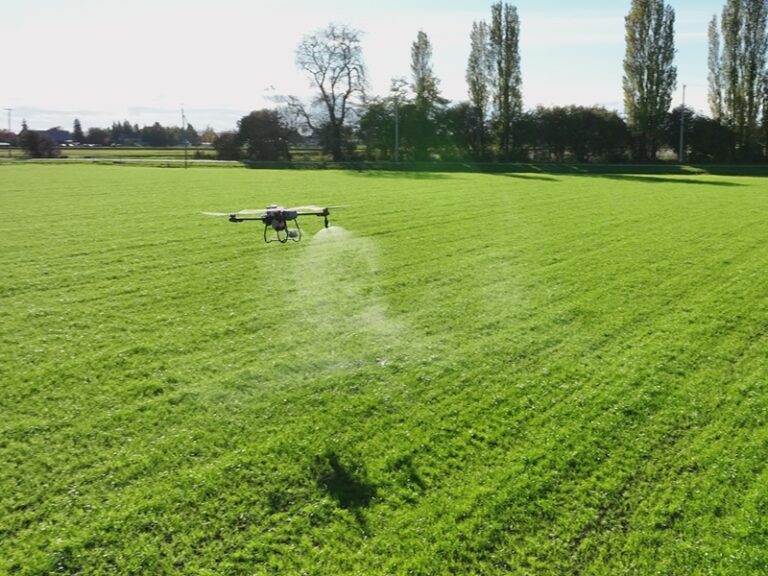
HiPics provides professional drone mapping, analysis, and targeted application services across the Fraser Valley.
If you’re exploring how drone mapping, crop health analysis, or aerial imagery could improve your operation, we’d be happy to discuss your project.
Send us a message below or contact us directly.
How HiPics Can Help...
HiPics provides practical drone solutions that help farmers, contractors, and business owners make better
decisions with better information.
Our services help you:
• Detect crop stress and variability earlier
• Identify irrigation and drainage issues
• Apply fertilizers or biological inputs more precisely
• Monitor construction sites and assets from above
• Capture aerial imagery for documentation and marketing