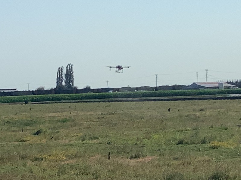
Drone services help cranberry growers map bog variability, identify weed pressure and plant stress, & apply inputs precisely where they are needed.
Variability Across Bogs Is Hard to Detect
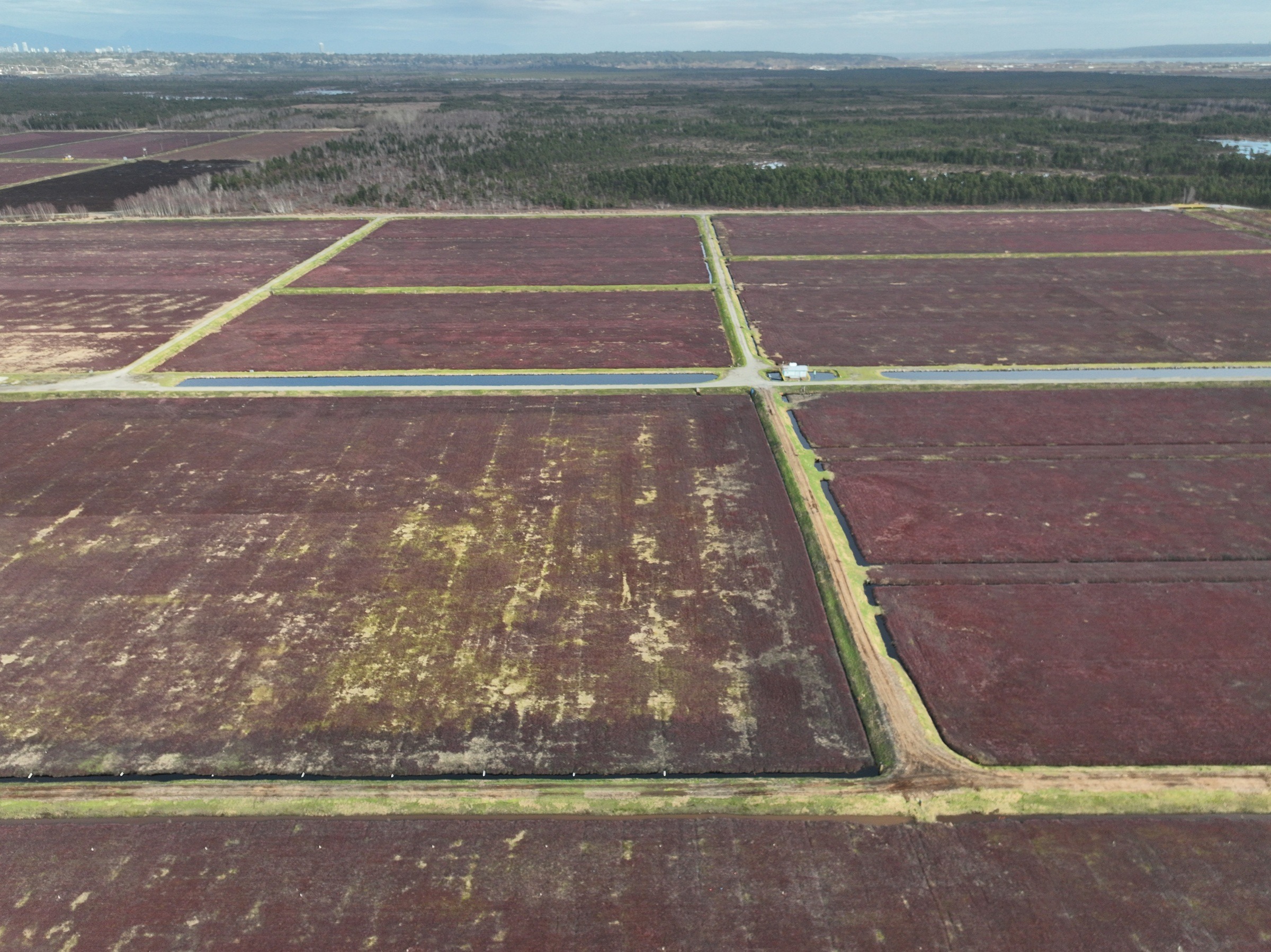
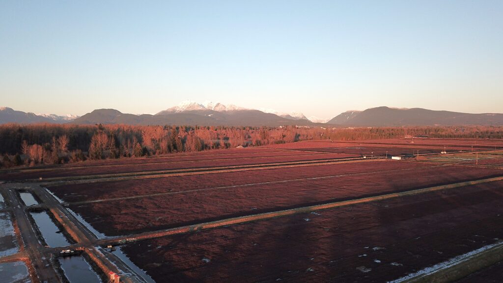
Cranberry bogs rarely perform uniformly.
Differences in vine vigor, weed pressure, and localized stress can develop across a bog without being obvious from ground-level observation.
By the time these issues are visible, they may already be impacting both the yield and fruit quality.
Drone mapping services provide a clear aerial view of variability across entire bogs, helping identify problem areas early.
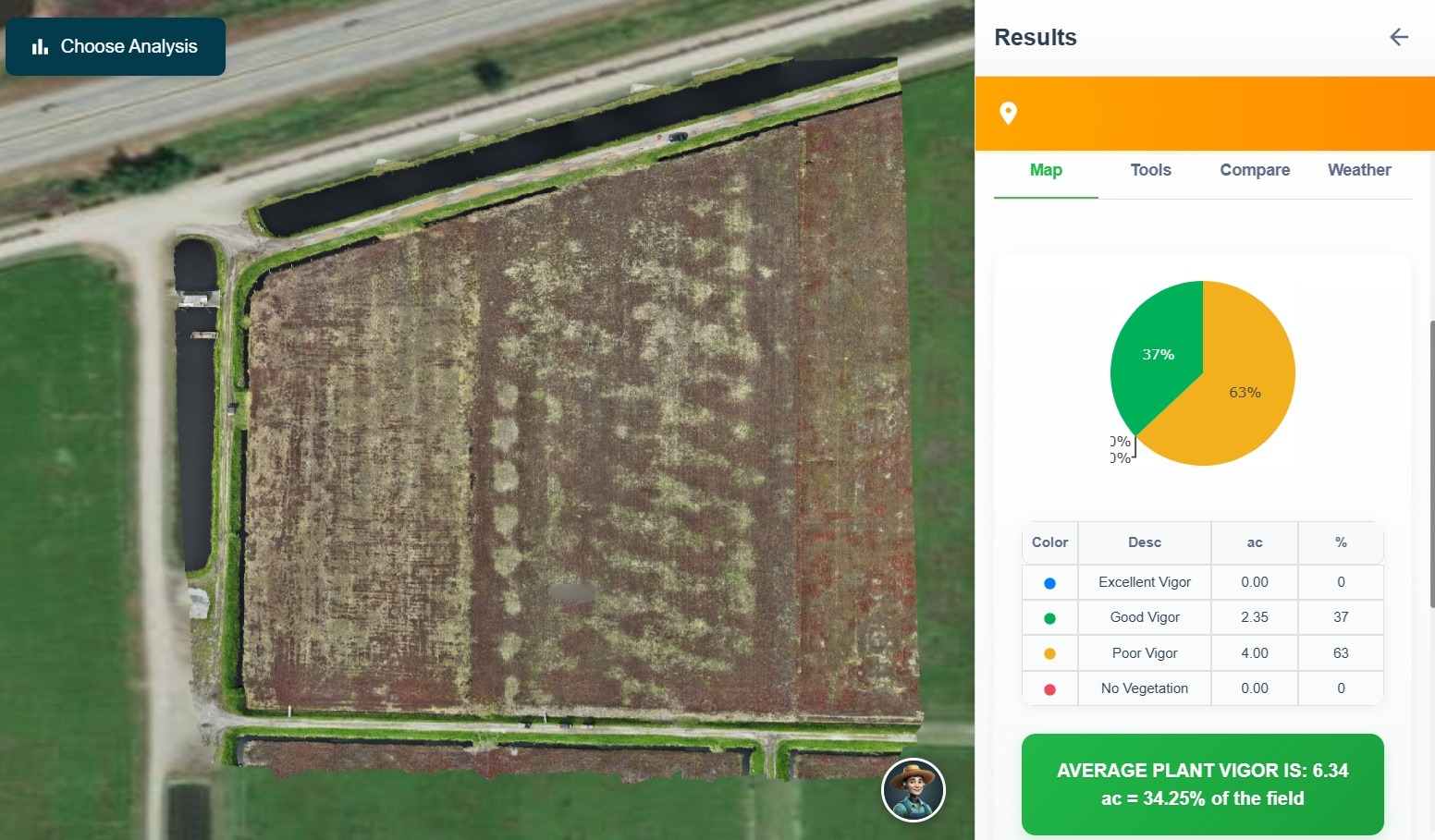
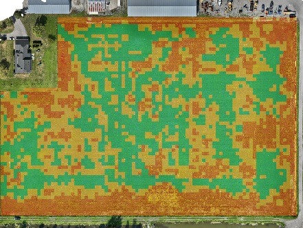
What Drone Mapping Can Show
Vine Vigor Variability Identify stronger and weaker growth zones across bogs
Weed and Invasive Pressure Detect areas affected by dodder, grasses, or other invasive species
Stress Patterns Highlight areas impacted by soil conditions, drainage differences, or nutrient issues
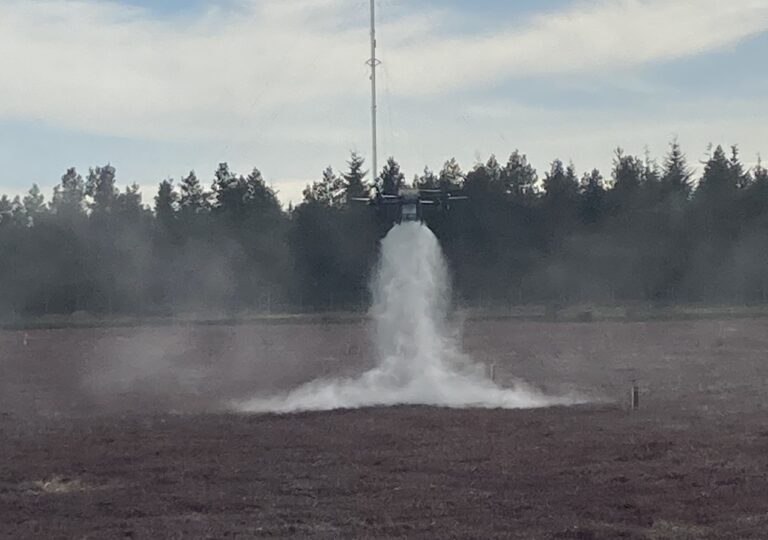
From Mapping to Targeted Application
Drone mapping allows growers to clearly identify zones within a bog that require attention.
These insights can be used to guide targeted application of fertilizers, micronutrients, or crop treatments.
Instead of applying inputs uniformly across an entire bog, treatments can be focused on specific areas where they will have the greatest benefit.
This variable rate approach supports more efficient input use while improving consistency across the crop.
Practical Applications
Vigor Mapping Across Bogs Compare plant health across different bogs, varieties, or treatment areas.
Weed and Invasive Species Identification Locate and map areas affected by dodder, grasses, or other unwanted growth.
Targeted Fertility and Micronutrient Application Apply inputs based on mapped variability rather than uniform coverage.
Seasonal Crop Monitoring Track changes in plant health throughout the growing season.
Pre-Harvest Field Assessment Review overall crop consistency and identify areas that may require attention.
Benefits for Cranberry Growers
Identify variability across bogs early
Reduce unnecessary inputs
Focus treatments on problem areas
Monitor entire fields quickly
Improve consistency across crop blocks
Get a Clear View of Your Fields
Drone services that include orthomosaic mapping combined with targeted applications can help improve decision-making and crop performance across your cranberry fields.