HiPics provides actionable drone services which includes mapping, analysis, and targeted application services.
We help you help you see problems sooner, and deliver clear outcomes across the agriculture, construction and marketing industries.
The Real Problem: Blind Spots Cost Time and Money
Decisions are often made based on limited ground checks and gut feel.
Issues like wasted inputs, early crop stress, irrigation gaps and site changes frequently go unnoticed until yields drop, or costly rework is needed
— when it’s already too late.
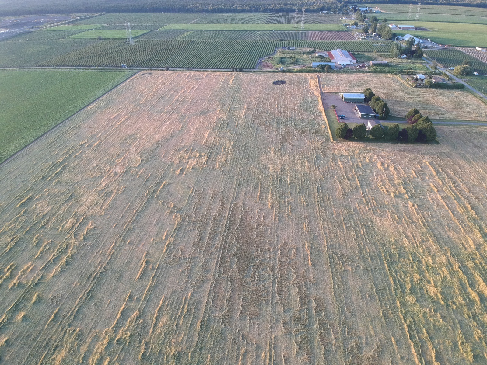
Excessive Crop Lodging
From Aerial Imagery to Decisions: The HiPics Workflow
Capture
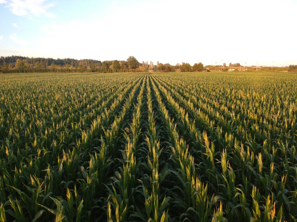
High-resolution RGB, multispectral, and thermal drone flights gather comprehensive data across fields and sites — faster and safer than ground scouting.
Analyze
Plant health maps, variability zones, and site intelligence show you exactly where attention is needed most.
Act
Support straight-rate or variable-rate spray applications — fertilizer, biologicals, or treatments — only where necessary, based on data.
The goal isn’t just more information — it’s better outcomes with fewer wasted inputs.
Detect early crop stress and nutrient deficiencies – so you fix issues sooner
Irrigation and Water Insights
Spot irrigation gaps and drainage issues before they hurt yield
Input Optimization
Reveal uneven growth so inputs are only applied where needed with prescription maps
Soil Contamination
Sprinkler Head Issues
Prescription Application Map
Additional Drone Capabilities
HiPics also supports other drone-based services, including construction progress reporting, asset inspections, and professional aerial imagery for media and marketing.
Construction Management
Ongoing progress reporting, volumetric analysis, and orthomosaic mapping to support planning, surveying and reporting.
Inspections
Safe and efficient rooftop, facade, and infrastructure inspections without expensive scaffolding or costly downtime.
Media Creation
Professional aerial photography and videography for marketing, documentation, promotion and inventory.
Ready to See What’s Really Happening?
Whether you’re managing crops, sites, or assets, HiPics delivers clear insights and practical outcomes, all backed by professional drone capture, analysis, and targeted action.